The image below shows current US Watches and Warnings. Click on it for more details.


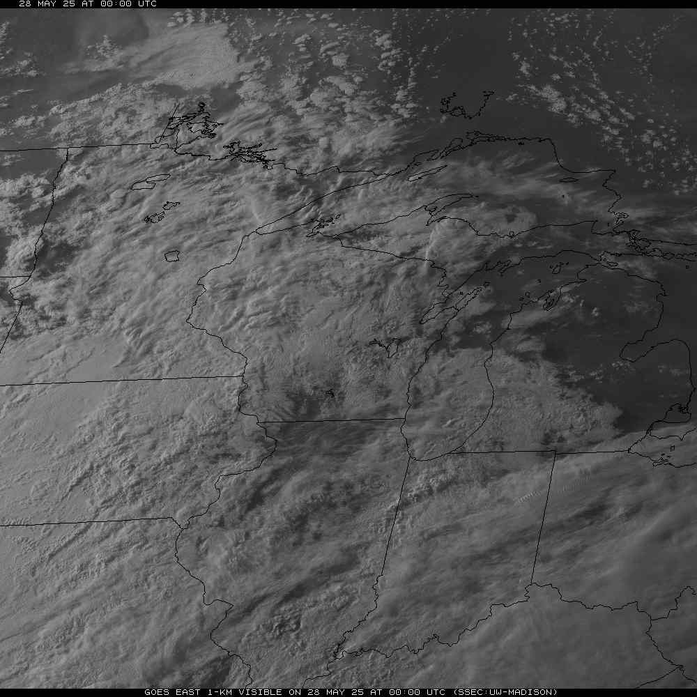
The picture below is a recent satellite image. It will switch between infrared and visible automatically.


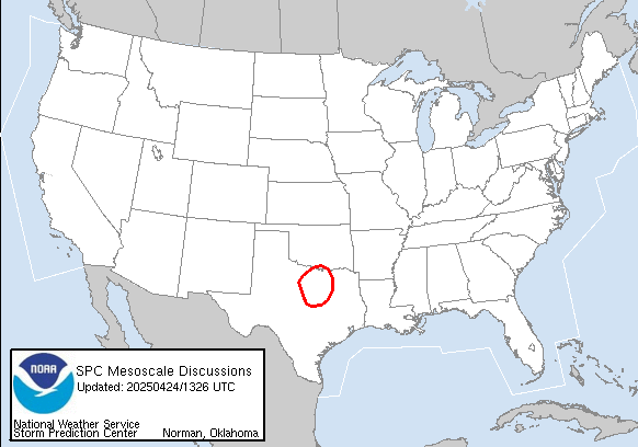


The below graphics are links to the Storm Prediction Center (SPC). The graphic on the left is the Mesoscale Discussion page, where the SPC highlights areas of concern for severe weather. If the threat intensifies, they will issue a Watch, as indicated on the right graphic. Click on these graphics to view the details.
The below two images are temperatures (left) and dewpoints (right) for the midwest. These charts are useful to tell where the airmasses are, and how potentially powerful they could be.
The below images are of the jetstream (left) and the surface winds (right). The jetstream influences the direction of fronts, and the surface winds push along individual storms. The arrows show wind direction, and relative strength.


Text based Information
| Iowa | Minnesota | Michigan | Wisconsin |
|---|---|---|---|
For advanced weather projection information, please click here.
Current Weather Information
WX9GRB, the Webmaster, and sponsors of this website assumesno responsibility or liabilityconcerning the materials presented here. The weather information is provided for your reference information only. All spotters must use common sense, and ensure your own personal safety.
For the Green Bay CWA, the latest official information may be found at http://www.crh.noaa.gov/grb
Shown below are several sites describing a lot of different types of weather information. Since this webpage is very graphics intense, it will take more than a few moments to load up all of the information. Also, when looking at the information, please verify the date and time stamps to ensure the data is current.
Five times a day, the Storm Prediction Center (SPC) will issue the Day1 Outlook, predicting where severe storms are likely to develop. The image on the left was run around 1am Green Bay time; the image on the right was run around 3pm.
The below radar image is from the Weather Underground in Michigan. It shows the current front locations, and a radar composite for the Midwest. Please click on the radar image to see close-ups in Wisconsin.